Book Tickets Online
About
This walk begins from the Aghameelan Viewpoint with the initial part of the walk taking you along forest tracks, deep into the forest through areas of mature planted conifers on the higher ground to areas populated by willow and aspen on the lower slopes. In areas where the forest is less dense, dappled light filters through giving rise to delicate woodland plants such as wood sorrel, wild garlic, and bluebells.
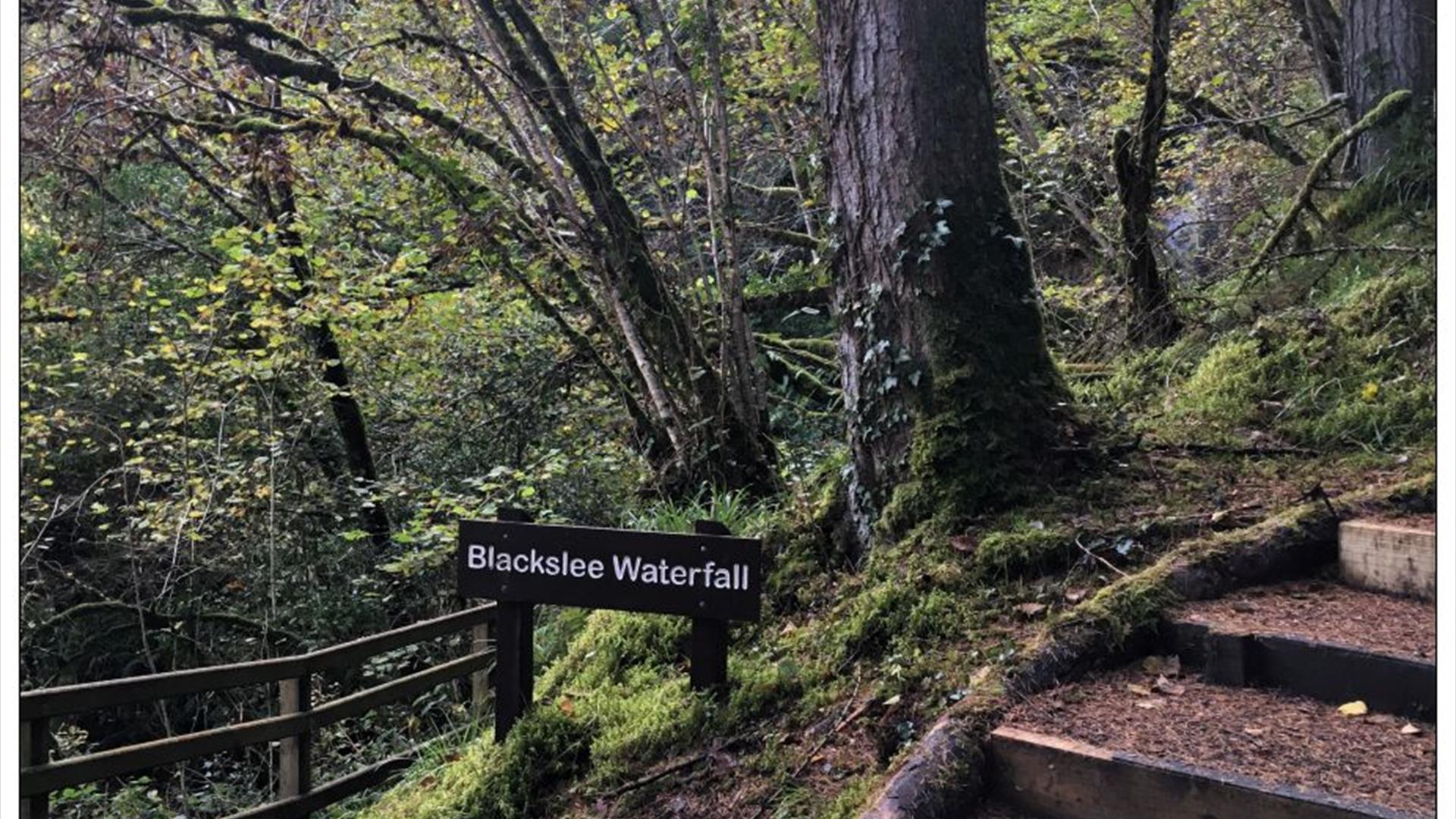
A series of linked forest tracks and paths zigzag through this forested area, however your path finally veers left. Contouring around a river bank the path leads through deep forest passing the ‘boulder field’ an area of huge sandstone boulders left behind as the ice sheets melted at the end of the last Ice Age over 13,000 years ago. Continuing uphill the path approaches Blackslee Waterfall, where water cascades over a 20m cliff before continuing its journey down an undercut rocky gorge. The gorge is carved from sandstones and mudstones, crosscut by a more resistant rock called dolerite, before flowing into Lower Lough Erne. Depending on the water levels at the time, this beautiful natural feature can range from a mere trickle to a raging torrent. The path continues its gradual climb uphill before adjoining the forest track, the final stretch of the path takes in capitulating stretches through corridors of forest which open to provide fine views over the neighbouring countryside.
Distance: 4 miles
Time: 2 hours 30 minutes
Grade: Moderate
Terrain: All types, mostly forest track
Route: Clockwise circular
Wheelchair accessible: No
Map: Discoverer Series OSNI Sheet 17 Lower Lough Erne; Activity Map OSNI Upper and Lower Lough Erne
Dogs: Dogs must be kept under control and waste disposed of
Starting Point: Aghameelan Viewpoint carpark


